

|
Geodesy for the Layman Approved Florida Board of Professional Surveyors and Mappers – Course No. 7586
Description: This correspondence course provides instruction in geodesy for the non-geodetic scientist or people working in the related fields of surveying, mapping, or engineering. The course teaches principles and concepts needed in the practice of surveying and mapping. The course is based on a U.S. Department of Commerce publication by the National Oceanic and Atmospheric Administration entitled "Geodesy for the Layman, Fifth Edition, 1983"
Course Topics: Ellipsoid of Revolution Geoid Datum Astronomic Position Determination Triangulation Trilateration Traverse Celestial Techniques Leveling (Differential, Trigonometric, Barometric)
Course Objectives: The objective of "Geodesy for the Layman HS" is to present information that will assist the surveyor in using and understanding geodetic principles and concepts for surveying and mapping applications.
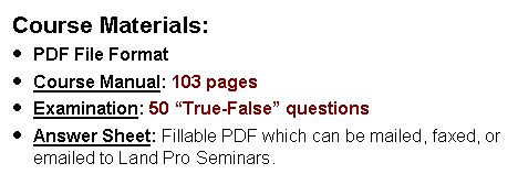
Evaluation Method: A written examination will be used to determine if the course objectives have been met. The student must achieve a minimum of 70 percent correct answers in order to receive continuing education credit. Course Outline 1. Introduction
2. History of Geodesy
3. Figure of the Earth
4. Geodetic Surveying Techniques, · Horizontal Positioning · Vertical Positioning
5. Geodetic Systems · Horizontal Geodetic Datums · Vertical Datums
6. Physical Geodesy
7. Satellite Geodesy · Observational Systems · Doppler Satellite Surveys
8. Other Developments in Geodesy · Lunar Laser Ranging · Very Long Baseline Interferometry · The Navstar Global Positioning System · Satellite-to-Satellite Tracking · Inertial Surveying · Gravity Gradiometry
9. The World Geodetic System |